
Boston and Army Corps Unveil $41B Flood Protection Plan Affecting Chelsea Creek |
Draft coastal storm-risk proposal includes flood barrier near Route 1A; public comments open through September 18 |
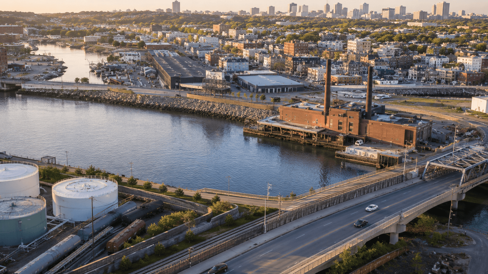
Boston and the U.S. Army Corps of Engineers have released a sweeping draft plan to protect the city and surrounding communities from coastal flooding as sea levels continue to rise. The coastal storm-risk management proposal outlines large-scale infrastructure projects around Boston Harbor that could prevent approximately $41 billion in flood damage by the end of the century.
The City previewed the proposal on July 20, with the full Army Corps draft released July 24. It includes specific proposals that would directly affect Chelsea and East Boston. One option under consideration would place a flood barrier along the Route 1A median near Chelsea Creek. However, Boston officials have expressed a preference for a waterside alternative that would achieve the same protection goals without cutting through driveways or separating residents from the waterfront.
The Chelsea Creek area presents unique challenges and opportunities for flood protection. The waterway is lined with industrial infrastructure, serves as a working port, and faces environmental conditions that make it particularly vulnerable to storm surge and rising tides. Any flood protection measures implemented here would have direct consequences for both Chelsea and East Boston residents, businesses, and the broader harbor ecosystem.
What the Plan Proposes
The plan summary released by the City of Boston outlines a range of potential projects designed to reduce coastal flood risk. The $41 billion figure represents the estimated damages that could be avoided over the plan's lifetime if the proposed infrastructure is built and performs as designed. This includes protection for homes, businesses, transportation networks, and critical infrastructure throughout the harbor area.
For communities along Chelsea Creek, the plan acknowledges the complex balance between industrial uses, residential neighborhoods, and environmental concerns. The preference for a waterside alternative suggests city officials are trying to avoid the kind of infrastructure that creates physical and visual barriers between communities and their waterfront—a lesson learned from previous urban planning decisions that prioritized function over neighborhood cohesion.
Public Comment Period Open
Residents, business owners, and community organizations have until September 18, 2026, to submit comments on the draft plan. This is a critical window for Chelsea and East Boston stakeholders to weigh in on proposals that could reshape the waterfront for generations. The Army Corps and city officials have emphasized that the plan remains a draft, and specific locations, designs, and funding mechanisms have not been finalized.
The planning process represents one of the most significant coordinated efforts between federal, state, and local agencies to address climate resilience in the Boston area. For Chelsea residents, the outcome could determine how their community adapts to a changing climate while preserving access to the waterfront that has defined the area for centuries. |
0 Comments
Join the conversation
Be the first to comment
Share your thoughts above.